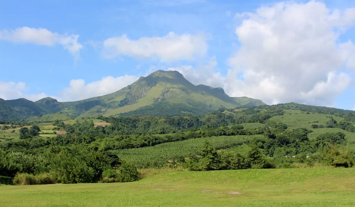
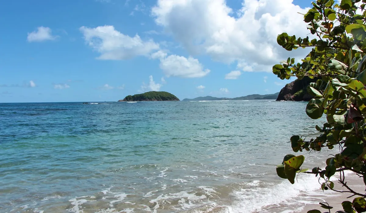
Martinique is an island located in the eastern part of the arc formed by the Lesser and Greater Antilles, which separates the Caribbean Sea from the Atlantic Ocean. It offers a rich diversity of landscapes, including steep mountains, lush green hills, jagged cliffs, and tranquil beaches.
Introduction to the geography of Martinique
Martinique is an island in the Caribbean archipelago of North America, located at coordinates 14°38′N and 61°2′W. It lies in the Lesser Antilles, between Dominica to the north and Saint Lucia to the south. A French overseas territory, Martinique is situated approximately 6,800 kilometers from the Atlantic coast of mainland France.
Covering a modest area of 1,105 km² (427 sq mi), the island stretches about 80 km (50 mi) in length and 35 km (22 mi) in width. Its coastline spans 470 km (292 mi), according to DIREN figures. Despite its size, Martinique ranks as the third-largest island in the Lesser Antilles, following Trinidad and Guadeloupe.
The relief of Martinique
Like many of its neighboring islands, Martinique features a mountainous terrain and a striking variety of landscapes shaped by its volcanic origins. These landforms are organized into distinct geological units aligned along the island’s major axis, which runs from north-northwest to south-southeast (NNW–SSE).

There are 3 major topographical areas in Martinique:
- The north of Martinique is a volcanic, hilly, and lush region, shaped by relatively recent volcanic activity. It is dominated by Mount Pelée, which rises to 1,397 meters, and the Pitons du Carbet, of which at least three of the five peaks exceed 1,000 meters. This mountainous zone features a complex orographic system formed by erosion and drainage, and is characterized by dense rainforest, frequent mist, and abundant rainfall. On the windward side, the terrain gradually softens toward the sea, creating broad areas suitable for agriculture.
- The center of the island is defined by plains, the most prominent being the vast alluvial plain of Lamentin.
- The south is the flattest region of Martinique and, as a result, the driest. Its highest point is Mount Vauclin, which reaches only 504 meters. This ancient volcano has been smoothed by erosion, leaving behind a landscape of gentle hills and hillocks.
Climate

Due to variations in terrain, Martinique can be divided into two zones along the Lamentin–Trinité axis. South of this slightly uneven line, the climate is relatively dry and strongly sunlit, while the northern region experiences significantly higher rainfall—except for a narrow coastal strip on the leeward side.
Overall, Martinique’s climate is classified as tropical maritime. It is characterized by mild temperatures and excellent ventilation, thanks to the steady trade winds. These winds often create a sense of comfort despite the island’s consistently high humidity. Together, these climatic features are key assets for Martinique’s agricultural sector.
The island’s rhythm is shaped by two main seasons: Lent (the dry season) and the rainy season.
The dry season begins in February and ends in April, marked by clear skies and high sun. Within this period is a particularly arid phase known as the “great drought,” distinguished by maximum sunshine.
Despite the overall dryness and sunshine, brief and light showers still occur during this season. The trade winds remain steady and strong, contributing to the island’s ventilation. Average temperatures during these months hover around 77°F (25°C).

The rainy season in Martinique begins in mid-June and lasts until November. Rainfall during this period is heavy and sustained, though occasionally interrupted by warm spells with weak trade winds and high humidity. This season coincides with the region’s hurricane period, marked by storms, tropical depressions, and waves that can persist for several days.
Rainfall is a crucial factor in crop development, and farmers plan their sowing schedules around the seasonal rains to optimize growth.
Temperatures

In its 2011 annual report, Météo France Martinique estimated the average annual temperature in Lamentin—a centrally located town on the island—at 81°F (27°C).
This organization, tasked with safeguarding people and property from climate-related risks through forecasting, prevention, and crisis management, noted that this temperature aligns with the broader trend of pronounced global warming observed over the past decade. The 2011 figure ranked as the fourth-highest on record, following peak temperature years in 1998, 2005, and 2010.
Rainfall

According to Météo France Martinique, 2011 was the wettest year since rainfall measurements began in the mid-20th century. A total of 2,989 millimeters of rain was recorded at the Lamentin Airport weather station.
This substantial figure represents a 42% increase compared to the average annual rainfall.

