Îlet Chevalier
Îlet Chevalier is one of the best known in Martinique. It is one of eleven islets of St. Anne, the town that has the most. This is one of the most visited islets in Martinique.
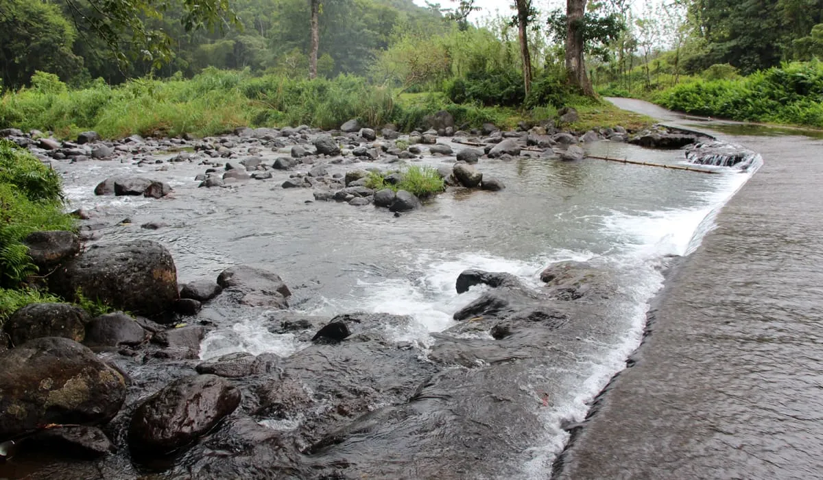
Îlet Chevalier is a former small volcano to the rocky terrain of Strombolian type. It is a natural paradise of some hundreds of meters long as wide. Located on the east coast of the peninsula of Sainte-Anne, facing the Atlantic, it is well protected by a coral reef. It has a rocky relief not very high (24 meters maximum) but steep with a beautiful sandy beach bordered by a dense vegetation and some majestic coconut trees.
Îlet Chevalier has enormous asset to a green and seaside tourism. Indeed, a well-marked footpath allows both to go around the islet that the crossing from side to side, and observe the heterogeneous vegetation and varied wildlife that exists there.
Three white sand coves (from North to Northeast), its water fairly calm and clear, Îlet Chevalier also offers him a pleasant space for relaxation.
Îlet Chevalier remains an area degraded by human activity (overexploitation of the Islet for tourism, human activities on the site, removal of species such as orchids and cacti, mineral fragments or all kinds of little memories natural). All this disturbs and impoverishes the richness of the site.
Moreover, despite the interdiction camping, visitors implant tents in defiance of environmental safeguard rules. Despite the presence of dirt collecting bounds, tourism operators are quick to dump them at sea garbage of all kinds (food, plastics of all kinds), these wastes are then found on the shores of the islet.
You can get there via the Taxi du Cap shuttle to the Cap Chevalier pontoon. The tour price is €4 for adults and €2 for children. Attention after 4pm, it is not possible to visit the islet. At 6pm, all occupants must have left the islet. Navigation is short because only 500 meters apart Cap Chevalier of the islet.